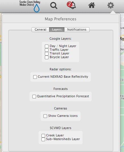
If your system is managing web cams, the images can be displayed as a layer on the GIS map or directly, grouped by watershed. To display Web Cam Icons on the map, click on the "gear" in the upper left corner, click on "Layers", and check the "Show Camera Icons"
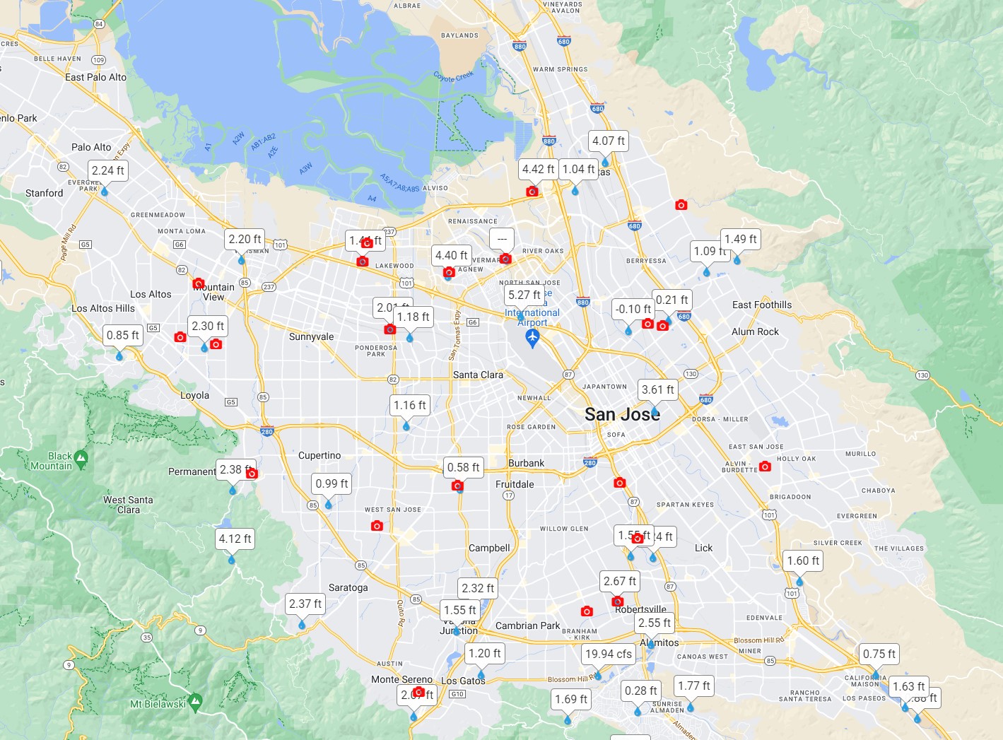
Once the "Show Camera Icons" has been checked, all web cam images will be displayed on the GIS-based map as shown below.
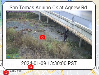
Clicking on a Web Cam icon will bring up an image like below:
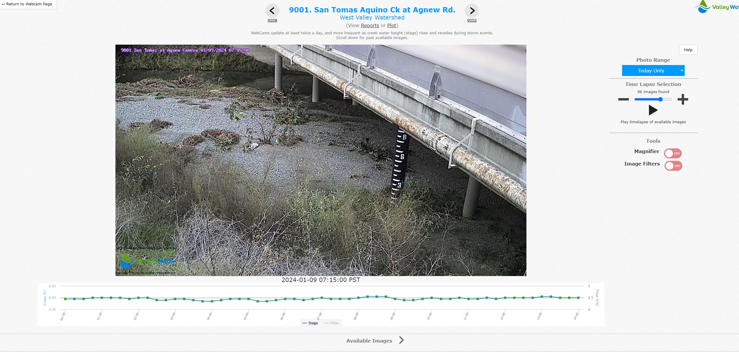
Clicking on the image itself will bring up a full-screen display of the image, along with a time series plot and tools to allow scrolling / animating the web cam images through time.
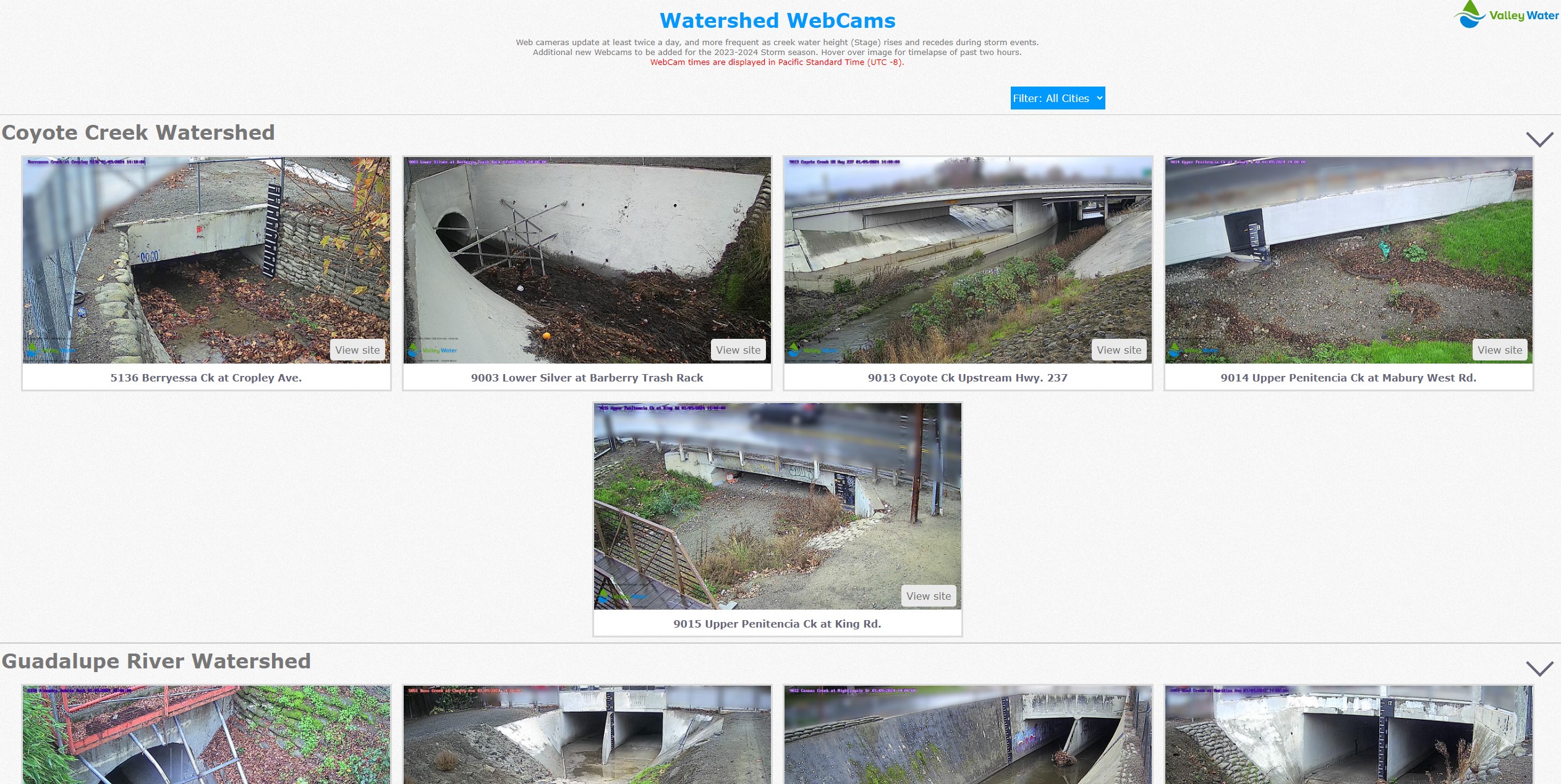
Going directly to the "Web Cam Images" link will bring up a display that groups all web cams by watershed.